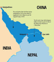
Nepal has recently released its administrative and political map after which India didn't' respond to unilateral roads made around the Limpiyadhura, Lipu Lekh, and Kalapani. This Nepal India map conflict has aroused warmness all over creating the world map. In this map 335 sq km of land in the map were included. These Limpiyadhura, Lipu Lek, and Kalapani are territories of Nepal which has been encroached upon by India for a long time.
 |
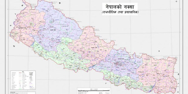
New and Original Political and Administrative Map of Nepal including Kalapani, Lipulek and Limpiadhura |
According to the earlier Nepal’s map, which was officially issued in 2032 BS, covered an area of 147,181 sq km. The new map incorporated the villages including Gunji, Nabhi, and Kuti lying in Limpiyadhura, Lipulekh, and Kalapani which has been one of the Nepal India map dispute since a long time.
According to the Ministry of Land Management, this new political and administrative map is being prepared based on the Sugauli Treaty reached between Nepal and the then East India Company on March 4, 1816.
There will be 10,000 copies of the map printed and distributed to all government offices all around Nepal.
Nepal government has also updated the new Nepal's political map on its department’s website. which can be downloaded easily.
Here are the authorized New maps of Nepal.
New Political Map of Nepal as Kalapani, Lipulek, and Limpiadhura is part of Nepal that create Nepal India Map Issue.
 |
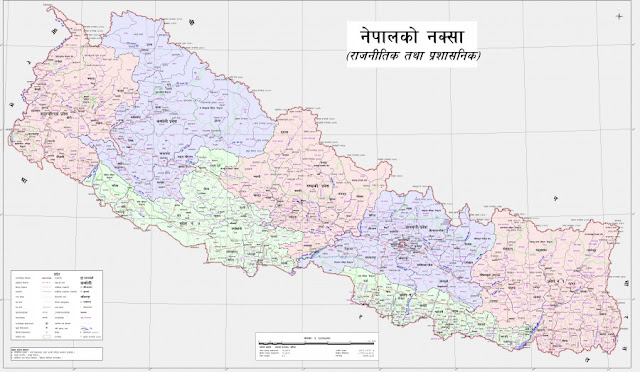
New Political Map of Nepal including Kalapani, Lipulek and Limpiadhura |
This Nepal India Map Issue or we can say Nepal India map conflict has created the Nepal
India map dispute between two countries relationship. Moreover the Greater Nepal
concept has also been raising so far. SO, you can get know about the Greater
Nepal Real Maps
Regarding the concept of Greater Nepal here you can get the Nepali Documentary Greater Nepal In Quest Of Boundary Watch Online
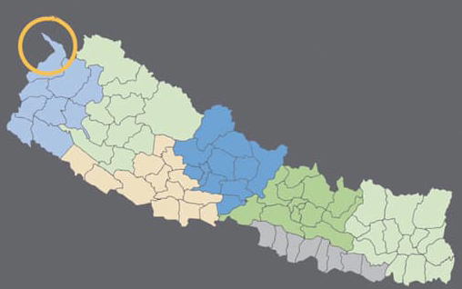
This picture shows the actual map that included the disputed parts of nepal
 |
| New Nepal Map including Kalapani,Lipulek and Limpiadhura |


